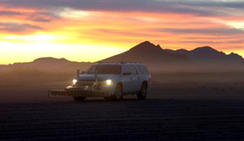
Current practice for ground penetrating radar (GPR) is to collect and analyze 2D radar images since GPR produces 2D scans. LLNL researchers and others have produced multistatic GPRarrays that can capture 3D images that requires an advanced radar array system.
A set of images generated by multiple passes over the same area can be coherently integrated by this technology developed by LLNL researchers. The primary difficulty with coherently combining different passes is registering the images obtained from each pass, particularly if a pass only partially covers a given area.
LLNL’s novel technology is able to add images from multiple passes by comparing segments of three-dimensional image blocks, two dimensional slices through the blocks, or two-dimensional projections through the blocks. The process to register and stitch together image blocks is as follows;
- Convert radar images to standardized form
- Select range of standardized image values and clip each image
- Apply a localized equalization technique
- Extract features from each block using histograms of oriented gradients (HOGs) or other techniques
- Match features between blocks to determine degree of overlap between blocks and the relationship between block coordinates
- Use coordinate relationship to transform blocks to a common coordinate system and add them together
LLNL’s 3D GPR Image Registration Using 2D Max-Depth Projection Features has numerous advantages over traditional Radar images such as:
- Produces 3D images
- Maximizes use of multiple pass overs
- Ground Penetrating Radar (GPR) image analysis
- Radar Image analysis
Current stage of technology development: TRL 6-8
LLNL has filed for patent protection on this invention and seeking to license this technology.


