
A set of images generated by multiple passes over the same area can be coherently integrated by this technology developed by LLNL researchers. The primary difficulty with coherently combining different passes is registering the images obtained from each pass, particularly if a pass only partially covers a given area.
Image
This technology uses three different frequency bands to create intensity maps of returned signals. Signals have traditionally been displayed as raw return data. The intensity of the return is represented by level of brightness. Assignment of a scalar value for intensity is used to determine the brightness of the image. In this technology, each frequency is given a designated…
Image

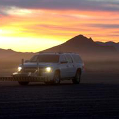
LLNL has developed a wide band (WB) ground penetrating radar (GPR) technology to detect and image buried objects under a moving vehicle. Efficient and high performance processing algorithms reconstruct images of buried or hidden objects in two or three dimensions under a scanning array. The technology includes a mobile high-performance computing system allowing GPR array sensor data to be…